

- Quick overview: size, scope and goals
- The Dubai Metro Blue Line route — how it will run
- Stations and signature design elements
- What work is happening now — traffic diversions and local impacts
- Capacity, travel time and projected benefits
- Economic and environmental returns
- What residents and commuters should expect
- How the line will fit into Dubai’s transport map
- Timetable and what to watch for next
- Conclusion
- Recommended For You
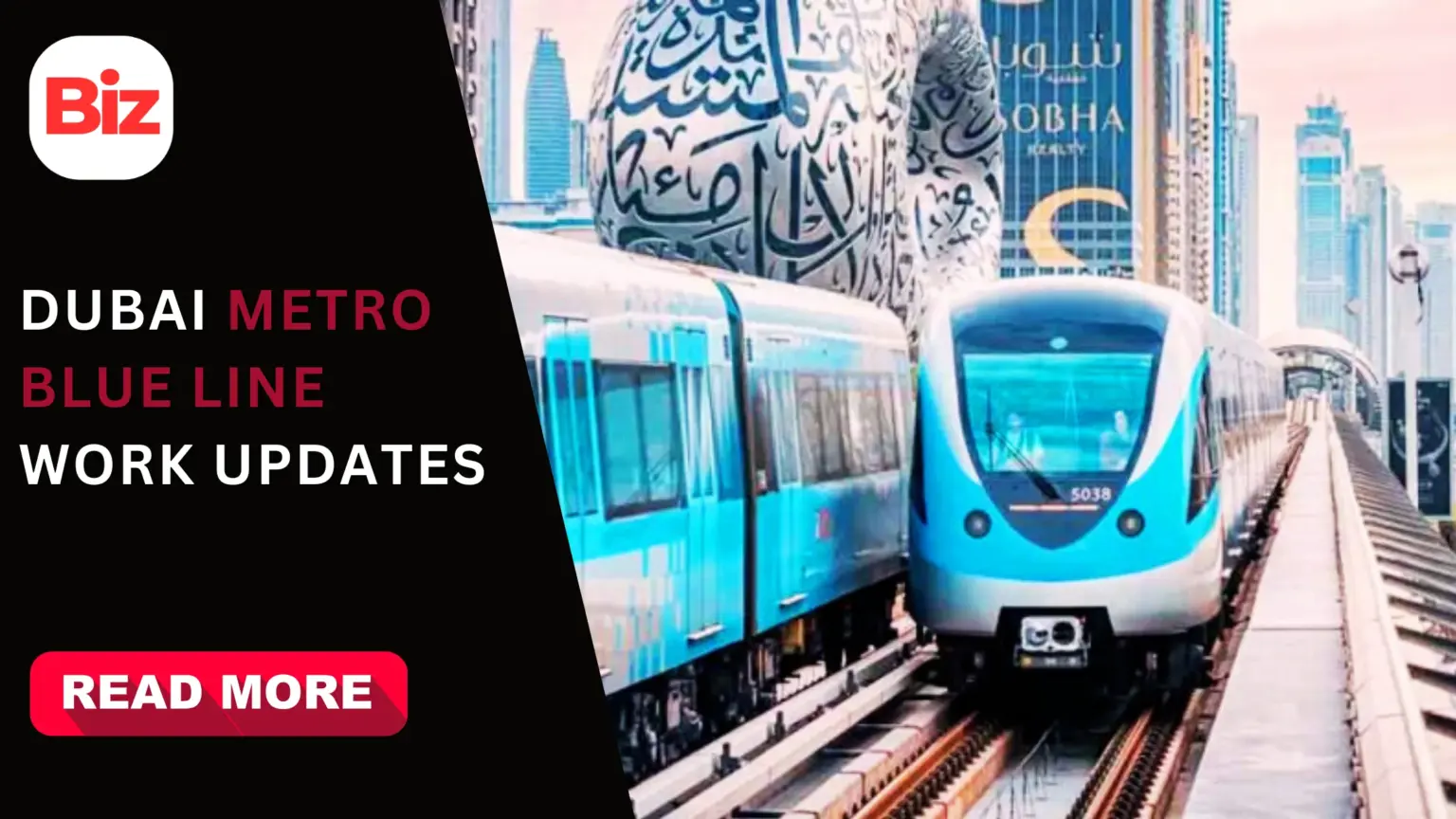
Dubai’s next big public-transport step is the Dubai Metro Blue Line. The Roads and Transport Authority (RTA) is already cutting roads and reworking junctions to make room for construction. These initial works are small in scope, but they signal the start of a major urban project that will reshape mobility across several districts.
Quick overview: size, scope and goals
The Blue Line will run about 30 kilometres and include 14 stations. It will link key residential and commercial districts and create new interchange points with the existing Red and Green lines. RTA expects the project to ease congestion, shorten trips to the airport and support the Dubai 2040 Urban Master Plan.
The Dubai Metro Blue Line route — how it will run
Planners split the Blue Line into two branch routes that meet at an interchange. One branch will start at Creek Station (on the Green Line) and head through Dubai Festival City, Dubai Creek Harbour, Ras Al Khor and International City, then continue on toward Dubai Silicon Oasis and Academic City. The other branch starts at Centrepoint Station (on the Red Line) and passes Mirdif and Al Warqa before joining at International City 1. This Dubai Metro Blue Line route will connect nine major districts and improve links to Dubai International Airport.
Stations and signature design elements
The Dubai Metro Blue Line stations mix elevated and underground architecture. There will be nine elevated stops and five underground stations. The world’s tallest metro station will sit at Dubai Creek Harbour and feature a dramatic design by Skidmore, Owings & Merrill. Naming rights have already been discussed; Emaar secured the naming for the first station for a multi-year period. These choices reflect a dual aim: high capacity and iconic civic design.
What work is happening now — traffic diversions and local impacts
RTA has announced traffic changes close to two of the planned interchange stations. At Centrepoint Station, the access road from Airport Road to the multi-storey car park is closed; drivers must follow temporary signage and use a new approach via 49C Street. Creek Station’s service road will also be closed, replaced by a short temporary access route to manage traffic flow while construction crews work. The RTA has asked motorists to follow signboards and plan routes in advance. These diversions are short-term measures meant to keep traffic moving safely while foundations and utility relocations begin.
Capacity, travel time and projected benefits
Officials estimate the Blue Line will carry tens of thousands of passengers per hour and hundreds of thousands per day once complete. RTA projects about 200,000 daily riders by 2030, rising later as the city grows. Travel times across many served corridors will fall sharply; a direct airport-to-residential link could cut journeys to roughly 20 minutes in some cases. The RTA also expects a material reduction in road congestion on routes served by the line.
Economic and environmental returns
Beyond mobility, the Blue Line is designed to deliver economic returns. Planners estimate a positive benefit-cost ratio and anticipate billions in net benefits by 2040 from time savings, reduced fuel use and fewer road incidents. The project also aims for green credentials; it is intended to comply with high sustainability standards and to support transit-oriented urban development around stations.
What residents and commuters should expect
Expect short-term disruptions near work zones. The diversions announced so far mainly affect station accesses rather than main carriageways. RTA’s signboards and temporary routing are already in place. For people who drive to affected stations, allow a few extra minutes and follow the posted directions to avoid delays.
How the line will fit into Dubai’s transport map
The Blue Line will become a key artery in Dubai’s growing rail network. It will add new interchange options, plug gaps between urban districts, and expand the metro’s coverage to newer residential clusters and employment hubs. The line’s mix of elevated and underground segments responds to local topography and urban density. The result should be more direct trips, better last-mile connections and stronger links between education, business and residential nodes.
Timetable and what to watch for next
RTA has signalled a multi-year construction programme with phased works. The immediate news items will be traffic and access changes around station sites. Later updates will cover construction milestones, exact station openings and service patterns. Keep an eye on official RTA channels for live updates and travel advisories while works proceed.
Conclusion
The Dubai Metro Blue Line project aims to be more than a new set of tracks. It promises faster commutes, fresh transport links and an uplift in urban planning around transit hubs. The construction work that is visible today — road closures, temporary access routes and site preparation — is the first visible step toward a larger, long-term shift in how Dubai moves people.